Pant Wood
Introduction
The photograph on this page of Pant Wood by Penny Mayes as part of the Geograph project.
The Geograph project started in 2005 with the aim of publishing, organising and preserving representative images for every square kilometre of Great Britain, Ireland and the Isle of Man.

There are currently over 7.5m images from over 14,400 individuals and you can help contribute to the project by visiting https://www.geograph.org.uk
Pant Wood
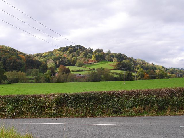
Image: © Penny Mayes Taken: 17 Oct 2007
Rising above Pant Farm which is in Image
Images are licensed for reuse under creativecommons.org/licenses/by-sa/2.0
Image Location
Latitude
52.53748
Longitude
-3.287371