River Dour
Introduction
The photograph on this page of River Dour by Dr Duncan Pepper as part of the Geograph project.
The Geograph project started in 2005 with the aim of publishing, organising and preserving representative images for every square kilometre of Great Britain, Ireland and the Isle of Man.

There are currently over 7.5m images from over 14,400 individuals and you can help contribute to the project by visiting https://www.geograph.org.uk
River Dour
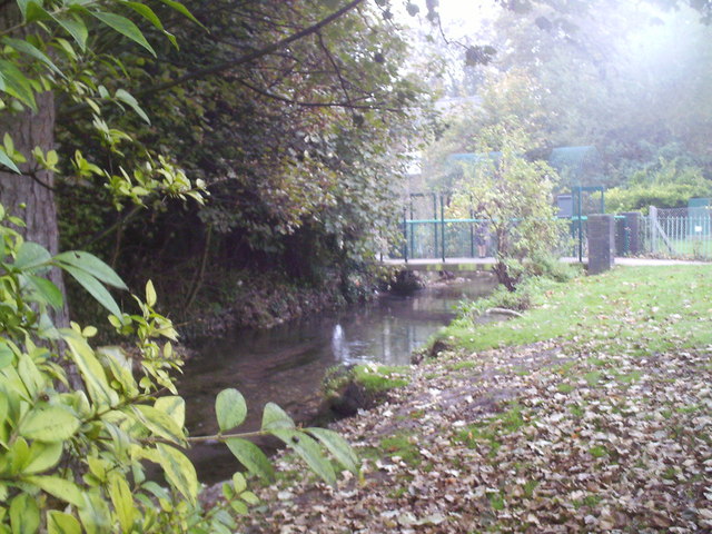
Image: © Dr Duncan Pepper Taken: 22 Oct 2007
Little seen by visitors, this small river carved out the valley and harbour which since Roman times has been the lifeblood of Dover.
Images are licensed for reuse under creativecommons.org/licenses/by-sa/2.0
Image Location
Latitude
51.126645
Longitude
1.315082