Floral Court
Introduction
The photograph on this page of Floral Court by Ian Capper as part of the Geograph project.
The Geograph project started in 2005 with the aim of publishing, organising and preserving representative images for every square kilometre of Great Britain, Ireland and the Isle of Man.

There are currently over 7.5m images from over 14,400 individuals and you can help contribute to the project by visiting https://www.geograph.org.uk
Floral Court
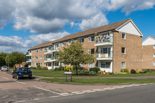
Image: © Ian Capper Taken: 7 Sep 2018
Group of 1960s apartment blocks at the junction of Rosedale and Oakhill Road. Both Floral Court and Roasedale commemorate the rose garden and nursery operated by nurseryman Henry Weller from the early 1900s until around the 1950s after which it was developed for housing.
Images are licensed for reuse under creativecommons.org/licenses/by-sa/2.0
Image Location
Latitude
51.312046
Longitude
-0.317615