Junction near Ouseley Barn
Introduction
The photograph on this page of Junction near Ouseley Barn by Graham Horn as part of the Geograph project.
The Geograph project started in 2005 with the aim of publishing, organising and preserving representative images for every square kilometre of Great Britain, Ireland and the Isle of Man.

There are currently over 7.5m images from over 14,400 individuals and you can help contribute to the project by visiting https://www.geograph.org.uk
Junction near Ouseley Barn
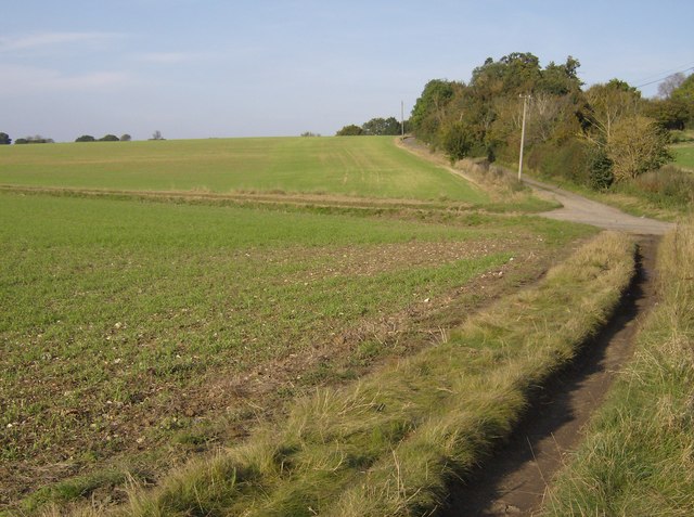
Image: © Graham Horn Taken: 21 Oct 2007
A footpath forms a crossroads with three lanes here. Even though the others are now all metalled there is not much difference in the status of all of them.
Images are licensed for reuse under creativecommons.org/licenses/by-sa/2.0
Image Location


Leaflet Map data © OpenStreetMap
Latitude
51.551969
Longitude
-1.087427