Field on Dundry Hill
Introduction
The photograph on this page of Field on Dundry Hill by Derek Harper as part of the Geograph project.
The Geograph project started in 2005 with the aim of publishing, organising and preserving representative images for every square kilometre of Great Britain, Ireland and the Isle of Man.

There are currently over 7.5m images from over 14,400 individuals and you can help contribute to the project by visiting https://www.geograph.org.uk
Field on Dundry Hill
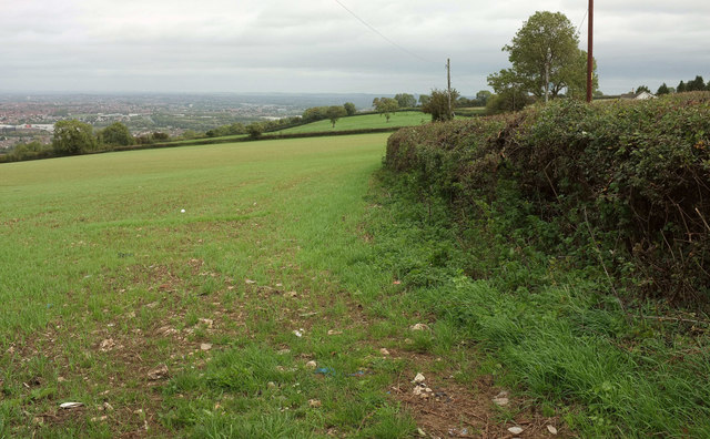
Image: © Derek Harper Taken: 18 Sep 2018
From a gate beside Broadoak Hill. Down on the left is the Bristol suburb of Hartcliffe. Restricted byway LA7 47/10 runs behind the hedge on the right.
Images are licensed for reuse under creativecommons.org/licenses/by-sa/2.0
Image Location
Latitude
51.39857
Longitude
-2.623797