Public footpath from Woodfields to the River Irwell, Bury
Introduction
The photograph on this page of Public footpath from Woodfields to the River Irwell, Bury by Christine Johnstone as part of the Geograph project.
The Geograph project started in 2005 with the aim of publishing, organising and preserving representative images for every square kilometre of Great Britain, Ireland and the Isle of Man.

There are currently over 7.5m images from over 14,400 individuals and you can help contribute to the project by visiting https://www.geograph.org.uk
Public footpath from Woodfields to the River Irwell, Bury
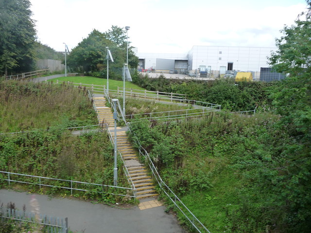
Image: © Christine Johnstone Taken: 6 Sep 2018
Take the steps or the zig-zags down the valley side.
Images are licensed for reuse under creativecommons.org/licenses/by-sa/2.0
Image Location
Latitude
53.59772
Longitude
-2.297476