Audley Villa, Newport
Introduction
The photograph on this page of Audley Villa, Newport by Richard Law as part of the Geograph project.
The Geograph project started in 2005 with the aim of publishing, organising and preserving representative images for every square kilometre of Great Britain, Ireland and the Isle of Man.

There are currently over 7.5m images from over 14,400 individuals and you can help contribute to the project by visiting https://www.geograph.org.uk
Audley Villa, Newport
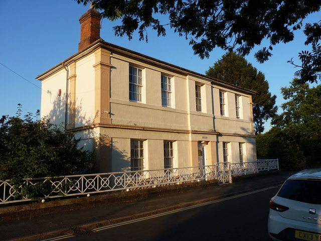
Image: © Richard Law Taken: 21 Aug 2018
Audley Villa dates from 1817, and was built originally as a grandstand to the Newport racecourse, then converted to a house around the turn of the 20th century. It attracted a Grade II listing (along with its railings & gates) https://britishlistedbuildings.co.uk/101367294-audley-villa-newport#.W6eWbNQrLGg in 1978.
Images are licensed for reuse under creativecommons.org/licenses/by-sa/2.0
Image Location
Latitude
52.766487
Longitude
-2.370769