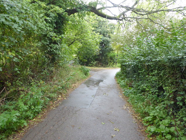
Birchett's Green Lane
Introduction
The photograph on this page of Birchett's Green Lane by Marathon as part of the Geograph project.
The Geograph project started in 2005 with the aim of publishing, organising and preserving representative images for every square kilometre of Great Britain, Ireland and the Isle of Man.
There are currently over 7.5m images from over 14,400 individuals and you can help contribute to the project by visiting https://www.geograph.org.uk

Image: © Marathon Taken: 22 Sep 2018
The idea for a reservoir to provide water to the Medway towns was conceived in 1945 but it was only in 1973 that work began. The Bewl Valley was selected as far less disruption would be caused than at other sites, and because clay and sand were available locally to help build the dam. Work on Bewl Water was completed in 1975 and when full it holds over 31,000 million litres of water. There is a thirteen and a half mile walking and cycle path around the reservoir. Along the southern side there is quite a bit of road walking as seen here.

