Tabard Street SE1 with stretcher railings
Introduction
The photograph on this page of Tabard Street SE1 with stretcher railings by Robin Webster as part of the Geograph project.
The Geograph project started in 2005 with the aim of publishing, organising and preserving representative images for every square kilometre of Great Britain, Ireland and the Isle of Man.

There are currently over 7.5m images from over 14,400 individuals and you can help contribute to the project by visiting https://www.geograph.org.uk
Tabard Street SE1 with stretcher railings
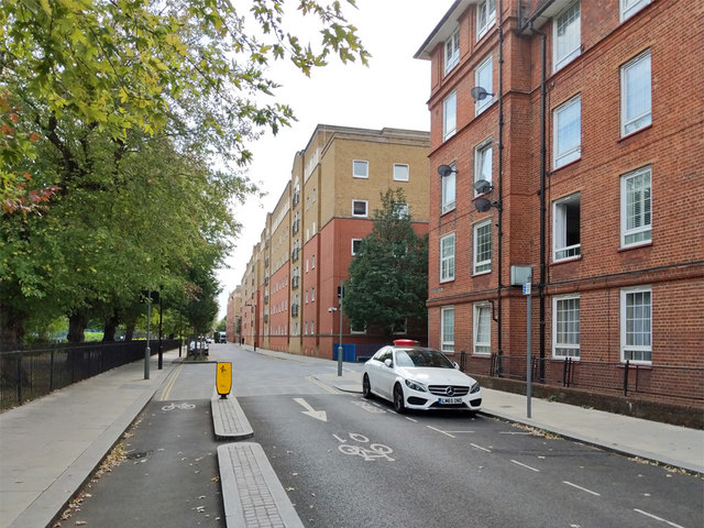
Image: © Robin Webster Taken: 19 Sep 2018
Tabard Gardens on the left, Becket House near right. Becket House still has its stretcher railings, which are made from recycled WWII steel stretchers. See for example https://www.citymetric.com/fabric/hidden-wartime-history-london-s-fences-3841 . I must have walked past these hereabouts hundreds of times when working in the far block (when it was offices) without realizing this.
Images are licensed for reuse under creativecommons.org/licenses/by-sa/2.0
Image Location
Latitude
51.498332
Longitude
-0.089686