Shared use path at Grassy Beach
Introduction
The photograph on this page of Shared use path at Grassy Beach by Oliver Dixon as part of the Geograph project.
The Geograph project started in 2005 with the aim of publishing, organising and preserving representative images for every square kilometre of Great Britain, Ireland and the Isle of Man.

There are currently over 7.5m images from over 14,400 individuals and you can help contribute to the project by visiting https://www.geograph.org.uk
Shared use path at Grassy Beach
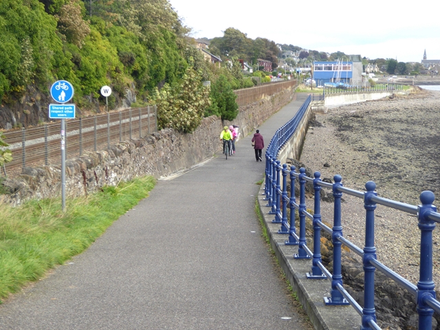
Image: © Oliver Dixon Taken: 16 Sep 2018
The coast path carries National Cycle Network route 1. The mainline railway to Aberdeen runs to the left; the Firth of Tay is to the right. In the middle distance is the premises of Dundee Sailing Club.
Images are licensed for reuse under creativecommons.org/licenses/by-sa/2.0
Image Location
Latitude
56.468317
Longitude
-2.899635