The road past Kirby Moor Farm
Introduction
The photograph on this page of The road past Kirby Moor Farm by Gordon Hatton as part of the Geograph project.
The Geograph project started in 2005 with the aim of publishing, organising and preserving representative images for every square kilometre of Great Britain, Ireland and the Isle of Man.

There are currently over 7.5m images from over 14,400 individuals and you can help contribute to the project by visiting https://www.geograph.org.uk
The road past Kirby Moor Farm
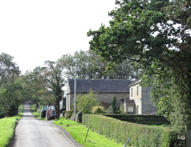
Image: © Gordon Hatton Taken: 19 Sep 2018
This long and mostly straight road runs west from Kirkby Malzeard across a pastoral landscape that owes much to parliamentary enclosures, which started in this area after 1789. It is an area of straight sided fields bordered by hedges and a few walls and linked by several straight roads. This is mostly stock rearing country with plenty of dairy cattle supplying milk to the Wensleydale Creamery branch in Kirkby Malzeard.
Images are licensed for reuse under creativecommons.org/licenses/by-sa/2.0
Image Location


Leaflet Map data © OpenStreetMap
Latitude
54.159666
Longitude
-1.676689