Flood storage pond at Garshake
Introduction
The photograph on this page of Flood storage pond at Garshake by Lairich Rig as part of the Geograph project.
The Geograph project started in 2005 with the aim of publishing, organising and preserving representative images for every square kilometre of Great Britain, Ireland and the Isle of Man.

There are currently over 7.5m images from over 14,400 individuals and you can help contribute to the project by visiting https://www.geograph.org.uk
Flood storage pond at Garshake
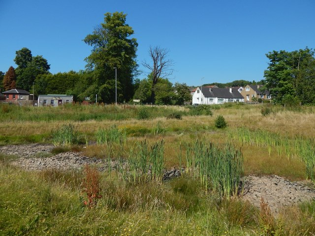
Image: © Lairich Rig Taken: 29 Jun 2018
The pond is empty after a prolonged period of dry weather; see Image for a view from another angle. The buildings in the background are on the other side of Garshake Road. Those on the left are beside the main entrance of Dumbarton Cemetery.
Images are licensed for reuse under creativecommons.org/licenses/by-sa/2.0
Image Location
Latitude
55.949103
Longitude
-4.548501