Bondgate Without
Introduction
The photograph on this page of Bondgate Without by Richard Webb as part of the Geograph project.
The Geograph project started in 2005 with the aim of publishing, organising and preserving representative images for every square kilometre of Great Britain, Ireland and the Isle of Man.

There are currently over 7.5m images from over 14,400 individuals and you can help contribute to the project by visiting https://www.geograph.org.uk
Bondgate Without
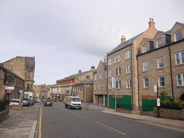
Image: © Richard Webb Taken: 15 Sep 2018
Without = Outwith. The Bondgate outside the Bondgate Tower, just about visible in the background. The building behind the bus stop is newly built, Streetview in 2009 shows a hole in the road.
Images are licensed for reuse under creativecommons.org/licenses/by-sa/2.0
Image Location
Latitude
55.412004
Longitude
-1.702562