The A494 and a milestone
Introduction
The photograph on this page of The A494 and a milestone by John S Turner as part of the Geograph project.
The Geograph project started in 2005 with the aim of publishing, organising and preserving representative images for every square kilometre of Great Britain, Ireland and the Isle of Man.

There are currently over 7.5m images from over 14,400 individuals and you can help contribute to the project by visiting https://www.geograph.org.uk
The A494 and a milestone
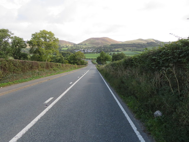
Image: © John S Turner Taken: 18 Sep 2018
Looking east along the A494 towards the Clwydian Hills. On the right there is what remains of a milestone, which, according to old maps, once read 'Mold 9 Ruthin 1'. It appears to have lost a metal plate from the face, which may have been removed during the war. Image
Images are licensed for reuse under creativecommons.org/licenses/by-sa/2.0
Image Location
Latitude
53.117774
Longitude
-3.288508