Milestone on the A494, east of Ruthin
Introduction
The photograph on this page of Milestone on the A494, east of Ruthin by John S Turner as part of the Geograph project.
The Geograph project started in 2005 with the aim of publishing, organising and preserving representative images for every square kilometre of Great Britain, Ireland and the Isle of Man.

There are currently over 7.5m images from over 14,400 individuals and you can help contribute to the project by visiting https://www.geograph.org.uk
Milestone on the A494, east of Ruthin
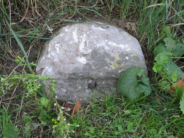
Image: © John S Turner Taken: 18 Sep 2018
This old and damaged milestone is still marked on modern maps, but is not easy to spot alongside the busy A494. It looks as though it once had a metal plate on the face, which, according to old maps, once read 'Mold 9 Ruthin 1'. The plate may have been removed during the war. See also Image
Images are licensed for reuse under creativecommons.org/licenses/by-sa/2.0
Image Location
Latitude
53.117593
Longitude
-3.288652