Fly2help, Gloucestershire Airport, Staverton
Introduction
The photograph on this page of Fly2help, Gloucestershire Airport, Staverton by Jaggery as part of the Geograph project.
The Geograph project started in 2005 with the aim of publishing, organising and preserving representative images for every square kilometre of Great Britain, Ireland and the Isle of Man.

There are currently over 7.5m images from over 14,400 individuals and you can help contribute to the project by visiting https://www.geograph.org.uk
Fly2help, Gloucestershire Airport, Staverton
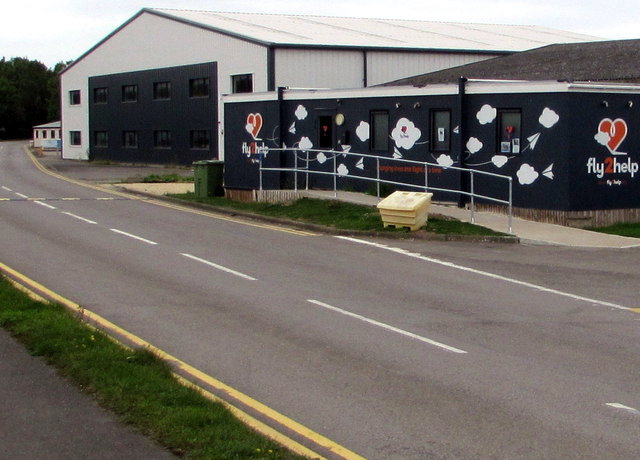
Image: © Jaggery Taken: 16 Sep 2018
Its website states that Fly2help is an aviation charity dedicated to raising the spirits of people, young and old, living in difficult personal situations and inspiring young people as they consider their future lives.
Images are licensed for reuse under creativecommons.org/licenses/by-sa/2.0
Image Location
Latitude
51.890959
Longitude
-2.156886