Narrow Lane leading into Runswick Bay
Introduction
The photograph on this page of Narrow Lane leading into Runswick Bay by Chris Heaton as part of the Geograph project.
The Geograph project started in 2005 with the aim of publishing, organising and preserving representative images for every square kilometre of Great Britain, Ireland and the Isle of Man.

There are currently over 7.5m images from over 14,400 individuals and you can help contribute to the project by visiting https://www.geograph.org.uk
Narrow Lane leading into Runswick Bay
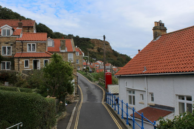
Image: © Chris Heaton Taken: 11 Sep 2018
This is the only vehicular access into the lower part of Runswick Bay, and it soon comes to a dead end.
Images are licensed for reuse under creativecommons.org/licenses/by-sa/2.0
Image Location


Leaflet Map data © OpenStreetMap
Latitude
54.533174
Longitude
-0.750379