View North along Roxborough Road
Introduction
The photograph on this page of View North along Roxborough Road by Eric Jones as part of the Geograph project.
The Geograph project started in 2005 with the aim of publishing, organising and preserving representative images for every square kilometre of Great Britain, Ireland and the Isle of Man.

There are currently over 7.5m images from over 14,400 individuals and you can help contribute to the project by visiting https://www.geograph.org.uk
View North along Roxborough Road
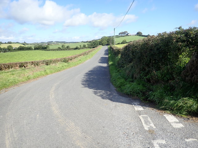
Image: © Eric Jones Taken: 12 Sep 2018
Roxborough Road, here viewed from the Ummerinvore Road junction, leads North to join the Carrickrovaddy Road near St Oliver's Primary School.
Images are licensed for reuse under creativecommons.org/licenses/by-sa/2.0
Image Location
Latitude
54.154355
Longitude
-6.544207