Path along the edge of Fire Stone Ley
Introduction
The photograph on this page of Path along the edge of Fire Stone Ley by Jonathan Thacker as part of the Geograph project.
The Geograph project started in 2005 with the aim of publishing, organising and preserving representative images for every square kilometre of Great Britain, Ireland and the Isle of Man.

There are currently over 7.5m images from over 14,400 individuals and you can help contribute to the project by visiting https://www.geograph.org.uk
Path along the edge of Fire Stone Ley
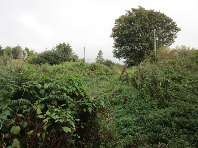
Image: © Jonathan Thacker Taken: 16 Sep 2018
Fire Stone Ley is common land but is largely covered with bracken and brambles.
Images are licensed for reuse under creativecommons.org/licenses/by-sa/2.0
Image Location
Latitude
50.72032
Longitude
-3.888738