The former Harraby Secondary School (4)
Introduction
The photograph on this page of The former Harraby Secondary School (4) by Rose and Trev Clough as part of the Geograph project.
The Geograph project started in 2005 with the aim of publishing, organising and preserving representative images for every square kilometre of Great Britain, Ireland and the Isle of Man.

There are currently over 7.5m images from over 14,400 individuals and you can help contribute to the project by visiting https://www.geograph.org.uk
The former Harraby Secondary School (4)
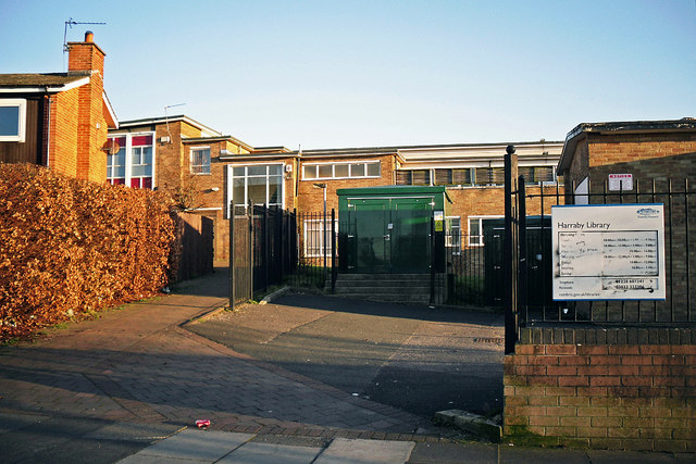
Image: © Rose and Trev Clough Taken: 18 Mar 2012
For more information see Image . The sign is for Harraby Library, which used to be located at the school. Following redevelopment of the site, a 'Library Link' facility is now available at Harraby Community Campus, which opened in 2016. The school buildings seen here were demolished in 2013 but the electricity substation, and house on the left, are still there (2018).
Images are licensed for reuse under creativecommons.org/licenses/by-sa/2.0
Image Location
Latitude
54.881159
Longitude
-2.892758