Old Blandford Road, Salisbury
Introduction
The photograph on this page of Old Blandford Road, Salisbury by Derek Harper as part of the Geograph project.
The Geograph project started in 2005 with the aim of publishing, organising and preserving representative images for every square kilometre of Great Britain, Ireland and the Isle of Man.

There are currently over 7.5m images from over 14,400 individuals and you can help contribute to the project by visiting https://www.geograph.org.uk
Old Blandford Road, Salisbury
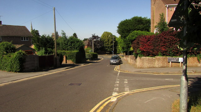
Image: © Derek Harper Taken: 30 Jun 2018
Dropping past Chiselbury Grove, to meet the A3094 Harnham Road. This stretch of the Old Blandford Road is followed by the Avon Valley Path.
Images are licensed for reuse under creativecommons.org/licenses/by-sa/2.0
Image Location
Latitude
51.05864
Longitude
-1.800472