Calf by Douglaswood
Introduction
The photograph on this page of Calf by Douglaswood by Richard Webb as part of the Geograph project.
The Geograph project started in 2005 with the aim of publishing, organising and preserving representative images for every square kilometre of Great Britain, Ireland and the Isle of Man.

There are currently over 7.5m images from over 14,400 individuals and you can help contribute to the project by visiting https://www.geograph.org.uk
Calf by Douglaswood
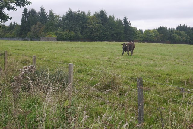
Image: © Richard Webb Taken: 1 Sep 2018
Beyond the field there is a fortified compound with a pillbox. This is the Douglaswood Scout Centre and the security is not to keep the Scouts in, but a legacy from when this was an RAF radar installation.
Images are licensed for reuse under creativecommons.org/licenses/by-sa/2.0
Image Location
Latitude
56.560042
Longitude
-2.83608