Main Entrance to Purewell Meadows Nature Reserve
Introduction
The photograph on this page of Main Entrance to Purewell Meadows Nature Reserve by mike smith as part of the Geograph project.
The Geograph project started in 2005 with the aim of publishing, organising and preserving representative images for every square kilometre of Great Britain, Ireland and the Isle of Man.

There are currently over 7.5m images from over 14,400 individuals and you can help contribute to the project by visiting https://www.geograph.org.uk
Main Entrance to Purewell Meadows Nature Reserve
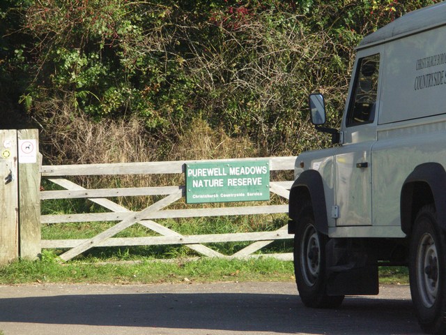
Image: © mike smith Taken: 21 Oct 2007
This area covers 8 hectares, and is maintained by the Christchurch Borough Countryside Service, with help from local volunteers.
Images are licensed for reuse under creativecommons.org/licenses/by-sa/2.0
Image Location
Latitude
50.738713
Longitude
-1.764137