Meadow, Langford Lakes Nature Reserve
Introduction
The photograph on this page of Meadow, Langford Lakes Nature Reserve by Derek Harper as part of the Geograph project.
The Geograph project started in 2005 with the aim of publishing, organising and preserving representative images for every square kilometre of Great Britain, Ireland and the Isle of Man.

There are currently over 7.5m images from over 14,400 individuals and you can help contribute to the project by visiting https://www.geograph.org.uk
Meadow, Langford Lakes Nature Reserve
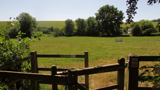
Image: © Derek Harper Taken: 30 Jun 2018
The gate leads one across this meadow towards the Glebe Walk, among trees along a channel on the southern side of the Wylye flood plain.
Images are licensed for reuse under creativecommons.org/licenses/by-sa/2.0
Image Location


Leaflet Map data © OpenStreetMap
Latitude
51.131545
Longitude
-1.948358