Footpath across a sown field, Ranton
Introduction
The photograph on this page of Footpath across a sown field, Ranton by John M as part of the Geograph project.
The Geograph project started in 2005 with the aim of publishing, organising and preserving representative images for every square kilometre of Great Britain, Ireland and the Isle of Man.

There are currently over 7.5m images from over 14,400 individuals and you can help contribute to the project by visiting https://www.geograph.org.uk
Footpath across a sown field, Ranton
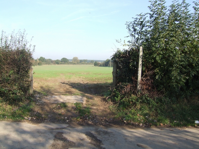
Image: © John M Taken: 21 Oct 2007
The line of the footpath to Clanford Hall is unmarked across the field. I think this path will have to be walked on another day.
Images are licensed for reuse under creativecommons.org/licenses/by-sa/2.0
Image Location
Latitude
52.812811
Longitude
-2.213601