Rowan Close, Sudbury
Introduction
The photograph on this page of Rowan Close, Sudbury by Chris Brown as part of the Geograph project.
The Geograph project started in 2005 with the aim of publishing, organising and preserving representative images for every square kilometre of Great Britain, Ireland and the Isle of Man.

There are currently over 7.5m images from over 14,400 individuals and you can help contribute to the project by visiting https://www.geograph.org.uk
Rowan Close, Sudbury
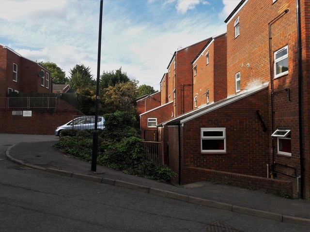
Image: © Chris Brown Taken: 9 Sep 2018
Off Elms Lane, this red brick housing development of the 1970s makes a virtue of the steep site with an intimate, picturesque layout with most of the houses reached by pedestrian paths.
Images are licensed for reuse under creativecommons.org/licenses/by-sa/2.0
Image Location
Latitude
51.562143
Longitude
-0.322612