The courses of two railway lines south of Dunston Staiths
Introduction
The photograph on this page of The courses of two railway lines south of Dunston Staiths by Mike Quinn as part of the Geograph project.
The Geograph project started in 2005 with the aim of publishing, organising and preserving representative images for every square kilometre of Great Britain, Ireland and the Isle of Man.

There are currently over 7.5m images from over 14,400 individuals and you can help contribute to the project by visiting https://www.geograph.org.uk
The courses of two railway lines south of Dunston Staiths
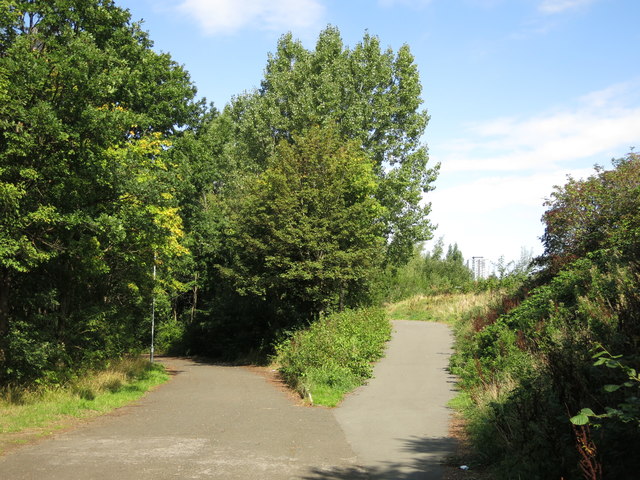
Image: © Mike Quinn Taken: 5 Sep 2018
For information about the coal staiths, see Image The right hand line served the upper stages of the staiths - see Image from where the coal was loaded into ships via chutes - see Image The left hand line curved round to the right (at more or less the same level as here) to link with lines running along the riverside near the Image
Images are licensed for reuse under creativecommons.org/licenses/by-sa/2.0
Image Location
Latitude
54.95606
Longitude
-1.637072