Unit on Muir of Ord Industrial Estate
Introduction
The photograph on this page of Unit on Muir of Ord Industrial Estate by John Allan as part of the Geograph project.
The Geograph project started in 2005 with the aim of publishing, organising and preserving representative images for every square kilometre of Great Britain, Ireland and the Isle of Man.

There are currently over 7.5m images from over 14,400 individuals and you can help contribute to the project by visiting https://www.geograph.org.uk
Unit on Muir of Ord Industrial Estate
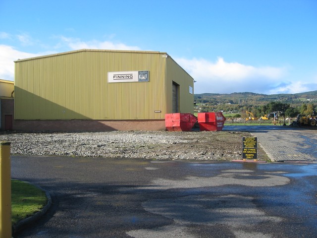
Image: © John Allan Taken: 16 Oct 2007
The industrial estate is built on what was the "muir" from which Muir of Ord takes its name. This area was once a major cattle market place.
Images are licensed for reuse under creativecommons.org/licenses/by-sa/2.0
Image Location


Leaflet Map data © OpenStreetMap
Latitude
57.505062
Longitude
-4.452728