Tabernacle Flats
Introduction
The photograph on this page of Tabernacle Flats by Ian Capper as part of the Geograph project.
The Geograph project started in 2005 with the aim of publishing, organising and preserving representative images for every square kilometre of Great Britain, Ireland and the Isle of Man.

There are currently over 7.5m images from over 14,400 individuals and you can help contribute to the project by visiting https://www.geograph.org.uk
Tabernacle Flats
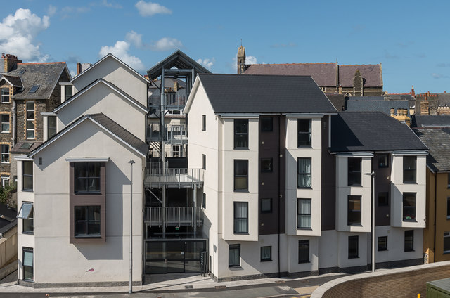
Image: © Ian Capper Taken: 29 Aug 2018
Apartment block of 22 flats eventually completed in 2018 after a number of delays. Situated between Powell Street and Mill Street, it is on the site of Y Tabernacl, a Welsh Calvinistic Methodist chapel built in 1880, one of the largest in Aberystwyth, but which ceased to be used in 2002 and which suffered major fire damage in 2008 and had to be demolished.
Images are licensed for reuse under creativecommons.org/licenses/by-sa/2.0
Image Location


Leaflet Map data © OpenStreetMap
Latitude
52.412537
Longitude
-4.084175