A39 passing Porte Cottages
Introduction
The photograph on this page of A39 passing Porte Cottages by David Smith as part of the Geograph project.
The Geograph project started in 2005 with the aim of publishing, organising and preserving representative images for every square kilometre of Great Britain, Ireland and the Isle of Man.

There are currently over 7.5m images from over 14,400 individuals and you can help contribute to the project by visiting https://www.geograph.org.uk
A39 passing Porte Cottages
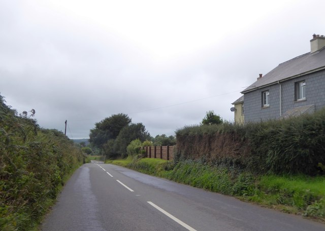
Image: © David Smith Taken: 29 Aug 2018
The nearby junction is Port Cross (no "e") and OS maps pre 1960 spell the name of nearby Porte Farm without the "e"
Images are licensed for reuse under creativecommons.org/licenses/by-sa/2.0
Image Location
Latitude
51.167257
Longitude
-3.956293