Housing on Bluecoat Pond (road)
Introduction
The photograph on this page of Housing on Bluecoat Pond (road) by Robin Webster as part of the Geograph project.
The Geograph project started in 2005 with the aim of publishing, organising and preserving representative images for every square kilometre of Great Britain, Ireland and the Isle of Man.

There are currently over 7.5m images from over 14,400 individuals and you can help contribute to the project by visiting https://www.geograph.org.uk
Housing on Bluecoat Pond (road)
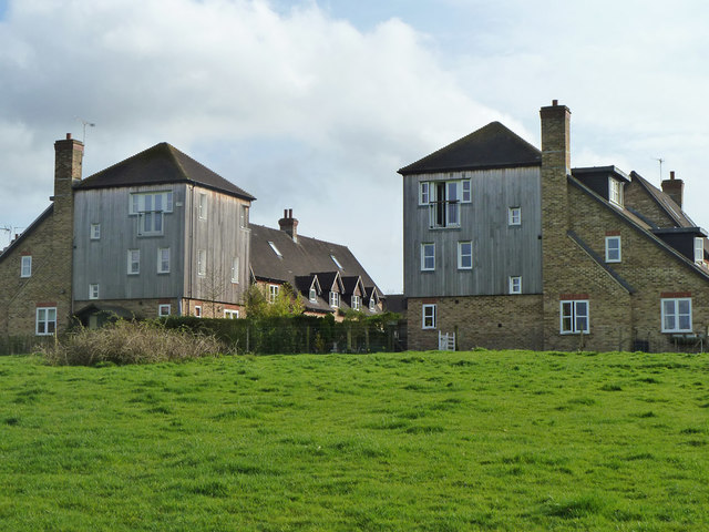
Image: © Robin Webster Taken: 3 Apr 2011
An outer ring of more modern housing on the estate associated with Christ's Hospital School.
Images are licensed for reuse under creativecommons.org/licenses/by-sa/2.0
Image Location
Latitude
51.048941
Longitude
-0.36105