Cottages in Greatgap
Introduction
The photograph on this page of Cottages in Greatgap by Stephen McKay as part of the Geograph project.
The Geograph project started in 2005 with the aim of publishing, organising and preserving representative images for every square kilometre of Great Britain, Ireland and the Isle of Man.

There are currently over 7.5m images from over 14,400 individuals and you can help contribute to the project by visiting https://www.geograph.org.uk
Cottages in Greatgap
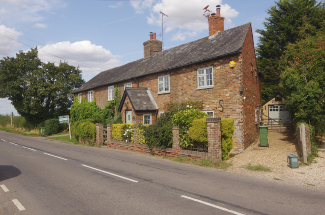
Image: © Stephen McKay Taken: 30 Aug 2018
Marked on Ordnance Survey maps as Greatgap but also referred to elsewhere as Great Gap, this is a hamlet on the B488 near Ivinghoe. At the northern end are these semi-detached late Victorian cottages, one of which was for sale at the time of this photograph.
Images are licensed for reuse under creativecommons.org/licenses/by-sa/2.0
Image Location
Latitude
51.84318
Longitude
-0.638666