Rourke House, The Causeway
Introduction
The photograph on this page of Rourke House, The Causeway by Mike Quinn as part of the Geograph project.
The Geograph project started in 2005 with the aim of publishing, organising and preserving representative images for every square kilometre of Great Britain, Ireland and the Isle of Man.

There are currently over 7.5m images from over 14,400 individuals and you can help contribute to the project by visiting https://www.geograph.org.uk
Rourke House, The Causeway
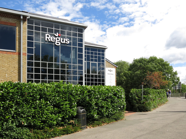
Image: © Mike Quinn Taken: 8 Aug 2018
This is the location of coal tax boundary post no.85 in Nail's list http://www.coaldutyposts.org.uk/cityposts.html .
Images are licensed for reuse under creativecommons.org/licenses/by-sa/2.0
Image Location
Latitude
51.432948
Longitude
-0.517966