Back Street, Saltby
Introduction
The photograph on this page of Back Street, Saltby by Kate Jewell as part of the Geograph project.
The Geograph project started in 2005 with the aim of publishing, organising and preserving representative images for every square kilometre of Great Britain, Ireland and the Isle of Man.

There are currently over 7.5m images from over 14,400 individuals and you can help contribute to the project by visiting https://www.geograph.org.uk
Back Street, Saltby
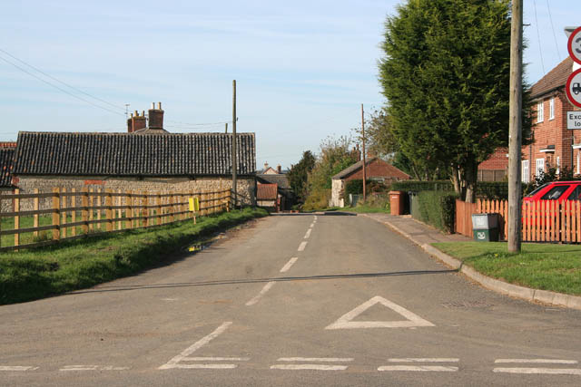
Image: © Kate Jewell Taken: 18 Oct 2007
This is the junction with The Butts. the road that skirts the east side of the village. One of the large stone barns at Hawthorn Farm can be seen on the left, council housing on the right, (although most of these are privately owned now).
Images are licensed for reuse under creativecommons.org/licenses/by-sa/2.0
Image Location


Leaflet Map data © OpenStreetMap
Latitude
52.826782
Longitude
-0.736808