Monnow Way bus stop and shelter, Bettws, Newport
Introduction
The photograph on this page of Monnow Way bus stop and shelter, Bettws, Newport by Jaggery as part of the Geograph project.
The Geograph project started in 2005 with the aim of publishing, organising and preserving representative images for every square kilometre of Great Britain, Ireland and the Isle of Man.

There are currently over 7.5m images from over 14,400 individuals and you can help contribute to the project by visiting https://www.geograph.org.uk
Monnow Way bus stop and shelter, Bettws, Newport
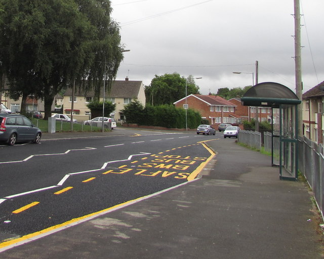
Image: © Jaggery Taken: 20 Aug 2018
One of many bus stops on Monnow Way which extends for about 4km around the Bettws Estate. This one is near Parret Road and Parret Close.
Images are licensed for reuse under creativecommons.org/licenses/by-sa/2.0
Image Location
Latitude
51.610788
Longitude
-3.019513