Down Dinam Close, Nantymoel
Introduction
The photograph on this page of Down Dinam Close, Nantymoel by Jaggery as part of the Geograph project.
The Geograph project started in 2005 with the aim of publishing, organising and preserving representative images for every square kilometre of Great Britain, Ireland and the Isle of Man.

There are currently over 7.5m images from over 14,400 individuals and you can help contribute to the project by visiting https://www.geograph.org.uk
Down Dinam Close, Nantymoel
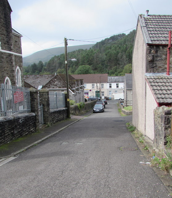
Image: © Jaggery Taken: 29 Aug 2018
Dinam Close descends towards Dinam Street past Horeb English Baptist Chapel https://www.geograph.org.uk/photo/5888988 on the left.
Images are licensed for reuse under creativecommons.org/licenses/by-sa/2.0
Image Location
Latitude
51.621573
Longitude
-3.539646