Open space, Penarth
Introduction
The photograph on this page of Open space, Penarth by M J Roscoe as part of the Geograph project.
The Geograph project started in 2005 with the aim of publishing, organising and preserving representative images for every square kilometre of Great Britain, Ireland and the Isle of Man.

There are currently over 7.5m images from over 14,400 individuals and you can help contribute to the project by visiting https://www.geograph.org.uk
Open space, Penarth
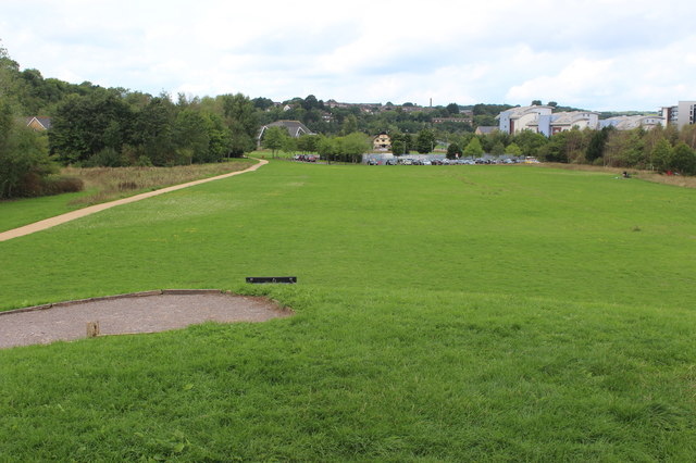
Image: © M J Roscoe Taken: 23 Aug 2018
Parkland on what was the site of part of Penarth Dock, viewed from a piece of public art Image
Images are licensed for reuse under creativecommons.org/licenses/by-sa/2.0
Image Location
Latitude
51.445538
Longitude
-3.180444