Regent's Canal
Introduction
The photograph on this page of Regent's Canal by Stephen McKay as part of the Geograph project.
The Geograph project started in 2005 with the aim of publishing, organising and preserving representative images for every square kilometre of Great Britain, Ireland and the Isle of Man.

There are currently over 7.5m images from over 14,400 individuals and you can help contribute to the project by visiting https://www.geograph.org.uk
Regent's Canal
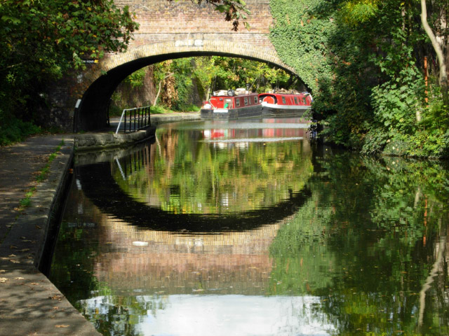
Image: © Stephen McKay Taken: 18 Oct 2007
This stretch of the Regent's Canal was opened in 1816 as part of a scheme to link Paddington Basin with the River Thames at Limehouse. It was named after the Prince Regent, later George IV, who was friendly with John Nash, a director of the canal company. In 1929, as a result of a series of mergers, the canal became part of the Grand Union Canal Company whose system stretched from London to Birmingham. This view is looking towards Camden Town with Regent's Park Road Bridge ahead.
Images are licensed for reuse under creativecommons.org/licenses/by-sa/2.0
Image Location
Latitude
51.538344
Longitude
-0.151171