Above Llanfyllin
Introduction
The photograph on this page of Above Llanfyllin by Stephen McKay as part of the Geograph project.
The Geograph project started in 2005 with the aim of publishing, organising and preserving representative images for every square kilometre of Great Britain, Ireland and the Isle of Man.

There are currently over 7.5m images from over 14,400 individuals and you can help contribute to the project by visiting https://www.geograph.org.uk
Above Llanfyllin
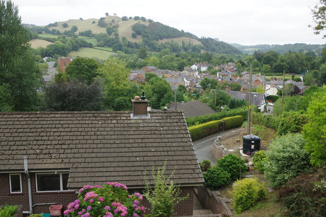
Image: © Stephen McKay Taken: 18 Aug 2018
Following Coed Llan Lane from the town, signposted to St Myllin's Well, leads here with an excellent view back down the Cain Valley.
Images are licensed for reuse under creativecommons.org/licenses/by-sa/2.0
Image Location
Latitude
52.76649
Longitude
-3.27648