Adfelion hen Ffarm Trehyrne / The ruined old Trehyrne Farm
Introduction
The photograph on this page of Adfelion hen Ffarm Trehyrne / The ruined old Trehyrne Farm by Alan Richards as part of the Geograph project.
The Geograph project started in 2005 with the aim of publishing, organising and preserving representative images for every square kilometre of Great Britain, Ireland and the Isle of Man.

There are currently over 7.5m images from over 14,400 individuals and you can help contribute to the project by visiting https://www.geograph.org.uk
Adfelion hen Ffarm Trehyrne / The ruined old Trehyrne Farm
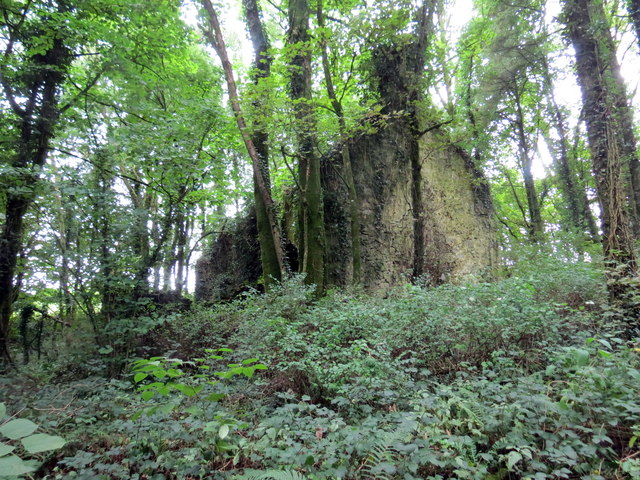
Image: © Alan Richards Taken: 27 Aug 2018
Adfelion hen Ffarm Trehyrne. Yn ystod y 18g a'r 19g bu'r teulu Popkin yn byw yno. Codwyd ffarm newydd gerllaw. The ruined Trehyrne Farm and during the eighteenth and nineteenth century the Popkin Family resided there. A new farmhouse was built nearby.
Images are licensed for reuse under creativecommons.org/licenses/by-sa/2.0
Image Location


Leaflet Map data © OpenStreetMap
Latitude
51.803699
Longitude
-4.422807