Farm buildings at Laverock Hall
Introduction
The photograph on this page of Farm buildings at Laverock Hall by Graham Robson as part of the Geograph project.
The Geograph project started in 2005 with the aim of publishing, organising and preserving representative images for every square kilometre of Great Britain, Ireland and the Isle of Man.

There are currently over 7.5m images from over 14,400 individuals and you can help contribute to the project by visiting https://www.geograph.org.uk
Farm buildings at Laverock Hall
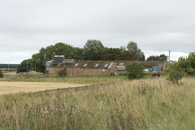
Image: © Graham Robson Taken: 19 Aug 2018
An old and disused grain store forms part of the farm steading at Laverock Hall.
Images are licensed for reuse under creativecommons.org/licenses/by-sa/2.0
Image Location


Leaflet Map data © OpenStreetMap
Latitude
55.102012
Longitude
-1.560212