Bank Top Cottages
Introduction
The photograph on this page of Bank Top Cottages by Robert Graham as part of the Geograph project.
The Geograph project started in 2005 with the aim of publishing, organising and preserving representative images for every square kilometre of Great Britain, Ireland and the Isle of Man.

There are currently over 7.5m images from over 14,400 individuals and you can help contribute to the project by visiting https://www.geograph.org.uk
Bank Top Cottages
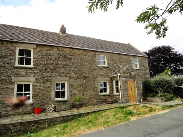
Image: © Robert Graham Taken: 6 Jul 2018
In the old farming hamlet of Shotleyfield. This is at the junction of the lane from Snods Edge with the village street.
Images are licensed for reuse under creativecommons.org/licenses/by-sa/2.0
Image Location
Latitude
54.874969
Longitude
-1.905687