Hadrian's Way
Introduction
The photograph on this page of Hadrian's Way by David Robinson as part of the Geograph project.
The Geograph project started in 2005 with the aim of publishing, organising and preserving representative images for every square kilometre of Great Britain, Ireland and the Isle of Man.

There are currently over 7.5m images from over 14,400 individuals and you can help contribute to the project by visiting https://www.geograph.org.uk
Hadrian's Way
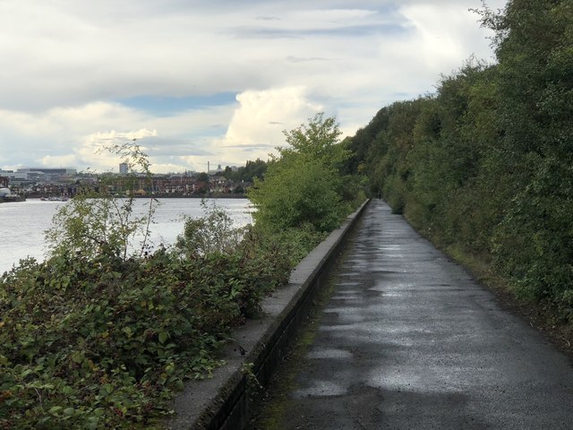
Image: © David Robinson Taken: 24 Aug 2018
Part of the Hadrian's Wall National Trail passing along the leafy north bank of the Tyne through an area once full of industry. In the left background is the city of Newcastle, with St James' Park prominent on the skyline.
Images are licensed for reuse under creativecommons.org/licenses/by-sa/2.0
Image Location
Latitude
54.962363
Longitude
-1.559239