Waldringfield: at the corner of Cliff Road and Sandy Lane
Introduction
The photograph on this page of Waldringfield: at the corner of Cliff Road and Sandy Lane by John Sutton as part of the Geograph project.
The Geograph project started in 2005 with the aim of publishing, organising and preserving representative images for every square kilometre of Great Britain, Ireland and the Isle of Man.

There are currently over 7.5m images from over 14,400 individuals and you can help contribute to the project by visiting https://www.geograph.org.uk
Waldringfield: at the corner of Cliff Road and Sandy Lane
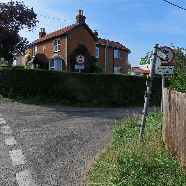
Image: © John Sutton Taken: 22 Aug 2018
The house, built in 1903, has a story. The pale blotches in the brickwork at first-floor level on the front of the house are where pock-marks caused by shrapnel from a wartime bomb were filled.
Images are licensed for reuse under creativecommons.org/licenses/by-sa/2.0
Image Location
Latitude
52.052762
Longitude
1.327231