Pasture south of Laughton in Leicestershire
Introduction
The photograph on this page of Pasture south of Laughton in Leicestershire by Roger Kidd as part of the Geograph project.
The Geograph project started in 2005 with the aim of publishing, organising and preserving representative images for every square kilometre of Great Britain, Ireland and the Isle of Man.

There are currently over 7.5m images from over 14,400 individuals and you can help contribute to the project by visiting https://www.geograph.org.uk
Pasture south of Laughton in Leicestershire
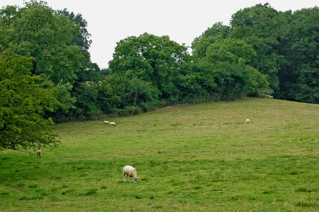
Image: © Roger Kidd Taken: 23 Aug 2013
There were just a few sheep grazing here on the slopes of the Laughton Hills by the Grand Union Canal. The deciduous woodland of Theddingworth Hollow Spinney covers the skyline.
Images are licensed for reuse under creativecommons.org/licenses/by-sa/2.0
Image Location
Latitude
52.483739
Longitude
-1.024684