Stowford Mill
Introduction
The photograph on this page of Stowford Mill by Michael Dibb as part of the Geograph project.
The Geograph project started in 2005 with the aim of publishing, organising and preserving representative images for every square kilometre of Great Britain, Ireland and the Isle of Man.

There are currently over 7.5m images from over 14,400 individuals and you can help contribute to the project by visiting https://www.geograph.org.uk
Stowford Mill
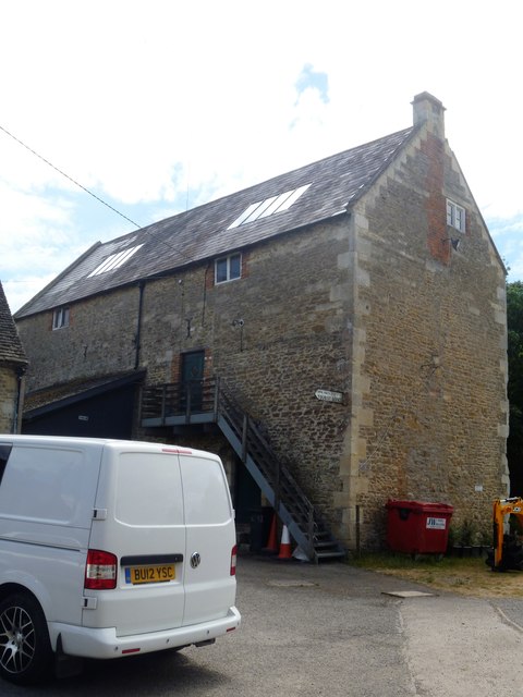
Image: © Michael Dibb Taken: 10 Jul 2018
The building is 19th century. Originally a fulling mill (cleaning of the wool - a step in cloth making) and converted to a corn mill in 1840s. A mill is mentioned here in the Domesday Book and there are records of a fulling mill here leased from Keynsham Abbey during the 15th and 16th centuries. Listed, grade II, with details at: https://www.historicengland.org.uk/listing/the-list/list-entry/1285287
Images are licensed for reuse under creativecommons.org/licenses/by-sa/2.0
Image Location
Latitude
51.317459
Longitude
-2.273154