Path through barley field
Introduction
The photograph on this page of Path through barley field by Jonathan Hutchins as part of the Geograph project.
The Geograph project started in 2005 with the aim of publishing, organising and preserving representative images for every square kilometre of Great Britain, Ireland and the Isle of Man.

There are currently over 7.5m images from over 14,400 individuals and you can help contribute to the project by visiting https://www.geograph.org.uk
Path through barley field
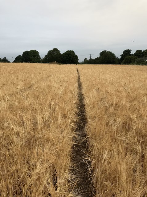
Image: © Jonathan Hutchins Taken: 22 Jul 2018
This field has for years been planted with maize, but on traversing it early on a Sunday morning I was surprised to see it was now a barley field. This is a public footpath designated Audley 87.
Images are licensed for reuse under creativecommons.org/licenses/by-sa/2.0
Image Location
Latitude
53.041848
Longitude
-2.301537