Park, path and stream in Wendover
Introduction
The photograph on this page of Park, path and stream in Wendover by Chris Wood as part of the Geograph project.
The Geograph project started in 2005 with the aim of publishing, organising and preserving representative images for every square kilometre of Great Britain, Ireland and the Isle of Man.

There are currently over 7.5m images from over 14,400 individuals and you can help contribute to the project by visiting https://www.geograph.org.uk
Park, path and stream in Wendover
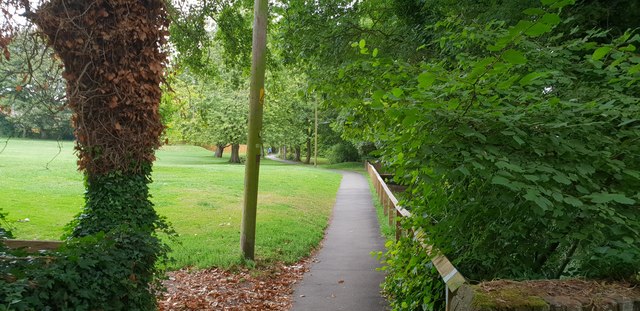
Image: © Chris Wood Taken: 19 Aug 2018
Park and path to the south of High Street in Wendover. The feeder stream to the Grand Union Canal can just be seen to the right.
Images are licensed for reuse under creativecommons.org/licenses/by-sa/2.0
Image Location
Latitude
51.761241
Longitude
-0.741257