Footbridge at the end of Church Path causeway, Lechlade-on-Thames, Glos
Introduction
The photograph on this page of Footbridge at the end of Church Path causeway, Lechlade-on-Thames, Glos by P L Chadwick as part of the Geograph project.
The Geograph project started in 2005 with the aim of publishing, organising and preserving representative images for every square kilometre of Great Britain, Ireland and the Isle of Man.

There are currently over 7.5m images from over 14,400 individuals and you can help contribute to the project by visiting https://www.geograph.org.uk
Footbridge at the end of Church Path causeway, Lechlade-on-Thames, Glos
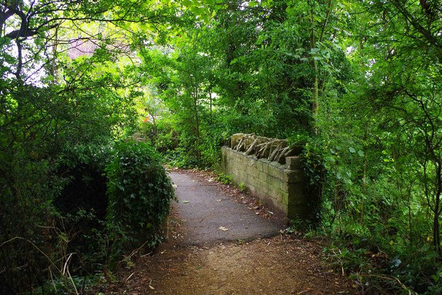
Image: © P L Chadwick Taken: 4 Sep 2016
The causeway, part of Church Path, carries a public footpath which runs from the town centre to the A417 road, near the Trout Inn. The footbridge crosses a drain, one of the many watercourses in this area.
Images are licensed for reuse under creativecommons.org/licenses/by-sa/2.0
Image Location
Latitude
51.690575
Longitude
-1.678939