Path through a harvested field
Introduction
The photograph on this page of Path through a harvested field by Bill Boaden as part of the Geograph project.
The Geograph project started in 2005 with the aim of publishing, organising and preserving representative images for every square kilometre of Great Britain, Ireland and the Isle of Man.

There are currently over 7.5m images from over 14,400 individuals and you can help contribute to the project by visiting https://www.geograph.org.uk
Path through a harvested field
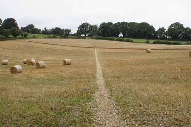
Image: © Bill Boaden Taken: 18 Aug 2018
The Shropshire Way heading north from Bishop's Castle. The barley at the top of the field is still standing.
Images are licensed for reuse under creativecommons.org/licenses/by-sa/2.0
Image Location
Latitude
52.498468
Longitude
-2.998092